

CMS GeoScience
Leading the way in marine survey and site investigations

We provide the data that informs your projects
Because of this, we take the quality of our work and the accuracy of our data very seriously.
Right from the outset, we support our clients and ensure that our core values of safety, accuracy and integrity run through every project.
The sectors we serve
Renewable
Energy
We offer expert geotechnical and geophysical site investigations that are critical to the renewable energy transition. Such work is central to determining seabed integrity and composition at the design stage of offshore wind farm developments.
Ports &
Harbours
Our cost-effective and efficient solutions cover structural inspections, navigational channel and underwater terrain mapping, hazard identification, water depth, and seabed soil and sediment assessment.
Environmental
Research
Partnering with leading scientists, universities and academic institutions, we bring our survey and sampling expertise to directly help research into the coastal and marine habitats that surround us.
Civil
Engineering
We have an enviable track record working with our valued clients in the marine civil engineering industry. We consistently provide reliable and accurate data that informs the foundation for their successful projects.
Our Solutions
With a proven track record ensuring the safety of our team, clients and the environments we work in, CMS GeoScience is well positioned to meet your marine site investigation needs.

Geotechnical Survey

Geophysical Site Investigations

Benthic and Environmental
Unique Solutions

Core Analysis and Storage

Vessel Charter

Equipment Rentals
Our Projects

CMS GeoScience successfully completed an important and challenging benthic survey job off the South Coast for the East Channel Association (ECA), forming part of the wider Regional Seabed Monitoring Program (RSMP).
Large-scale benthic survey for East Channel Association (ECA)

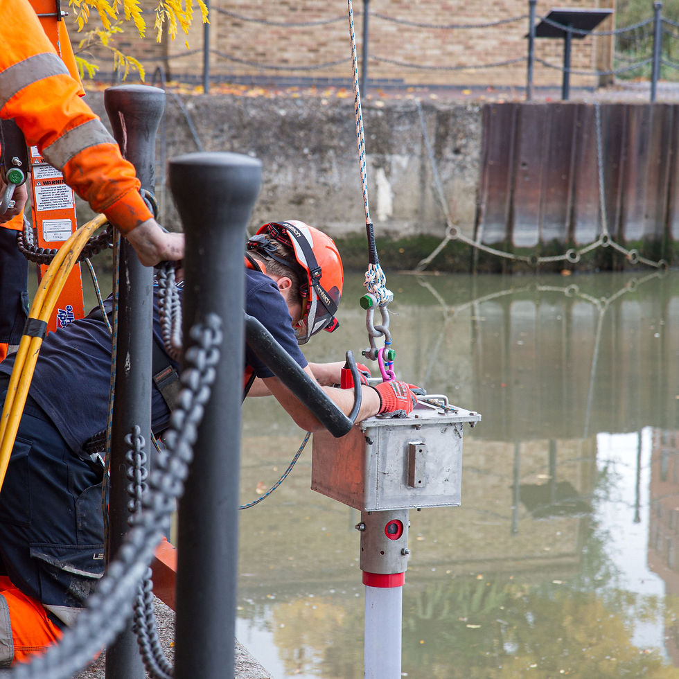
CMS GeoScience designed a unique solution to overcome the challenges of taking core samples from a shallow, closed body of water.
Unique geotechnical survey at
East London dock

CMS GeoScience successfully completed a complex ground investigation project for ABP Southampton. The project was a collaborative effort between ABP Engineering & Asset Management (Southampton), The Bates Partnership, ABPmer, Wessex Archaeology and Southampton Vessel Traffic Services (VTS).
Successful ground investigation project for ABP Southampton
Our Partners

Our Clients



Quality

.png)
.png)